
B.P. (Before Pandemic), we had made reservations for Capitol Reef National Park. The original plan was to spend a week after Labor Day in Capitol Reef and then wander around Utah until the end of September…or maybe the middle of October. Once we were in the middle of a pandemic, that didn’t seem like such a good plan.
However, we’re hopeful that eventually life will return to something approaching normal, and Capitol Reef seemed like a place we might want to host. So, we decided the advantages of doing a shorter trip just to Capitol Reef outweighed the risks. Of course we took Velocity, and that gave us a safe place to stay.
Although we’ve spent a fair amount of time in Utah, neither of us had ever been to Capitol Reef. Now that we’ve discovered it, we can’t wait to return. We’ve got our fingers crossed for a position in 2021.
The ‘capitol’ in Capitol Reef is named for the white domes of Navajo sandstone that resemble the domes of capitol buildings and the ‘reef’ describes the seemingly impenetrable and dangerous cliffs that settlers had to cross. The park is small compared to Big Bend – not quite a third the size, but it still has plenty to see and do.
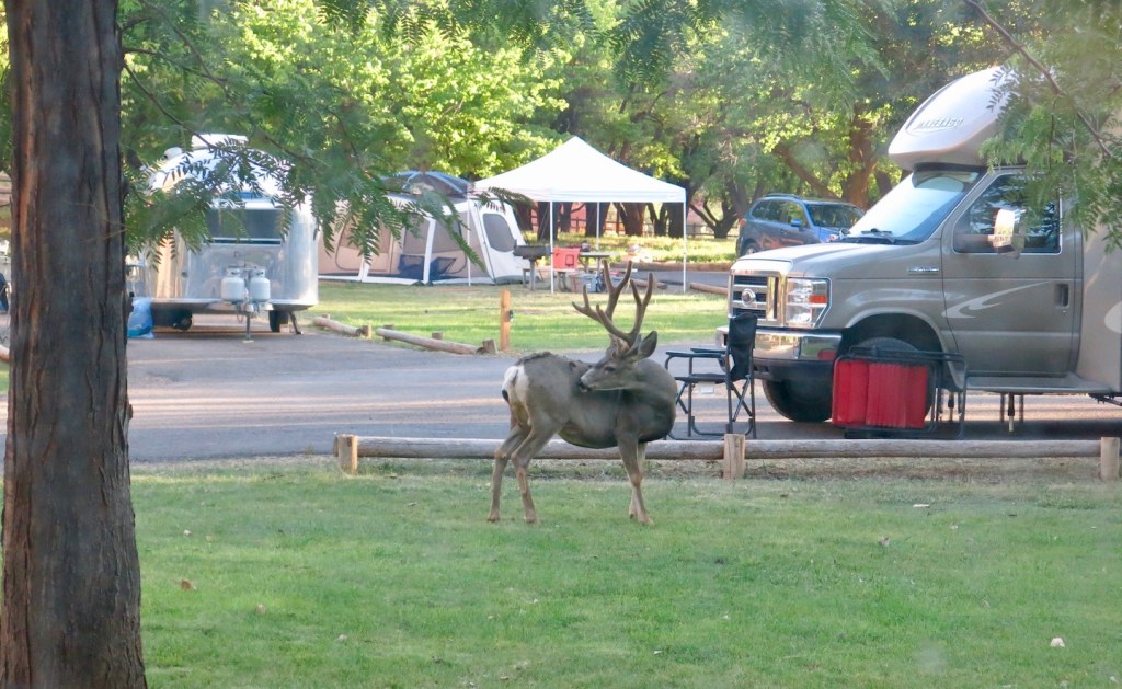
Located in the Colorado Plateau, Capitol Reef receives about 8 inches of rain per year. However the campground, bordered by the Fremont River and irrigated constantly, is a lush oasis. This area was settled by Mormans in the 1800s. Park staff still maintain the orchards, and visitors are allowed to pick fruit in season.
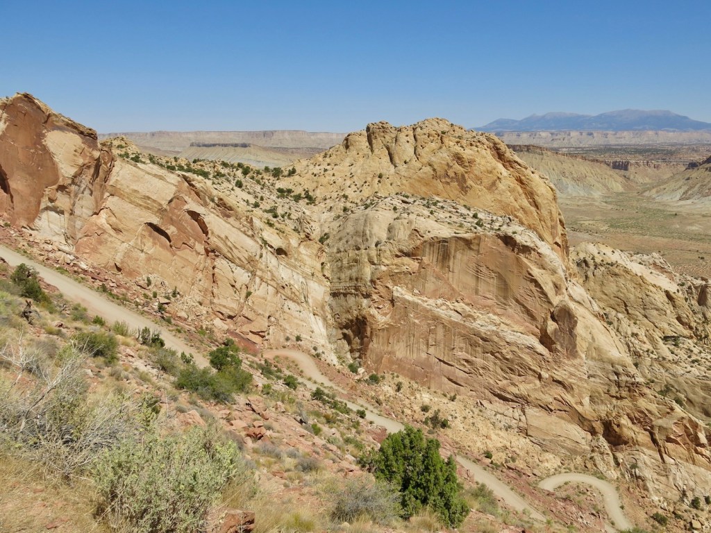
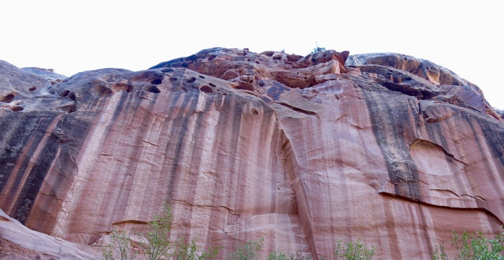
An almost 100-mile long geologic feature called Waterpocket Fold is within Capitol Reef. It is usually described as a wrinkle in the earth’s crust or more scientifically, a monocline. The rock layers folded over a fault and then eroded. Older rock layers, one on top of another, are exposed in most of the Park, but younger, tilted layers are visible as one moves east.
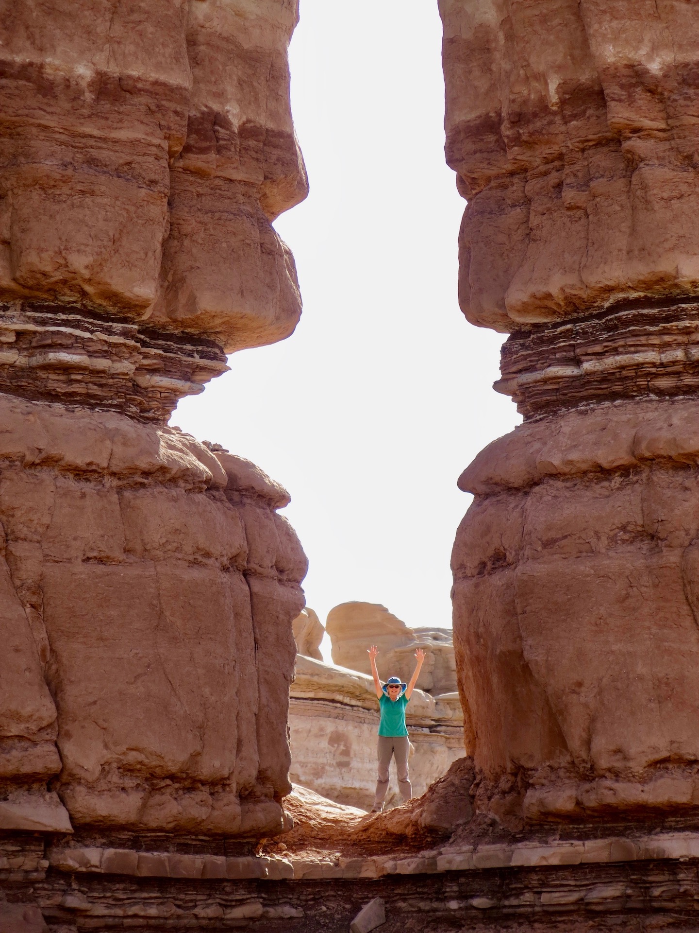
It’s possible to drive through the fold in two places – a paved highway which follows the Fremont River and divides the park north and south, and a dirt road near the southern end. In the photo below, we’ve just made the quick but steep climb up to the top after several hours of driving parallel to the fold.
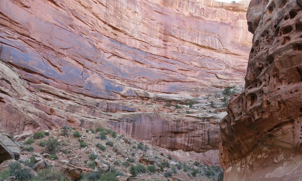
Hiking and driving through Capitol Reef is a feast for the eyes.
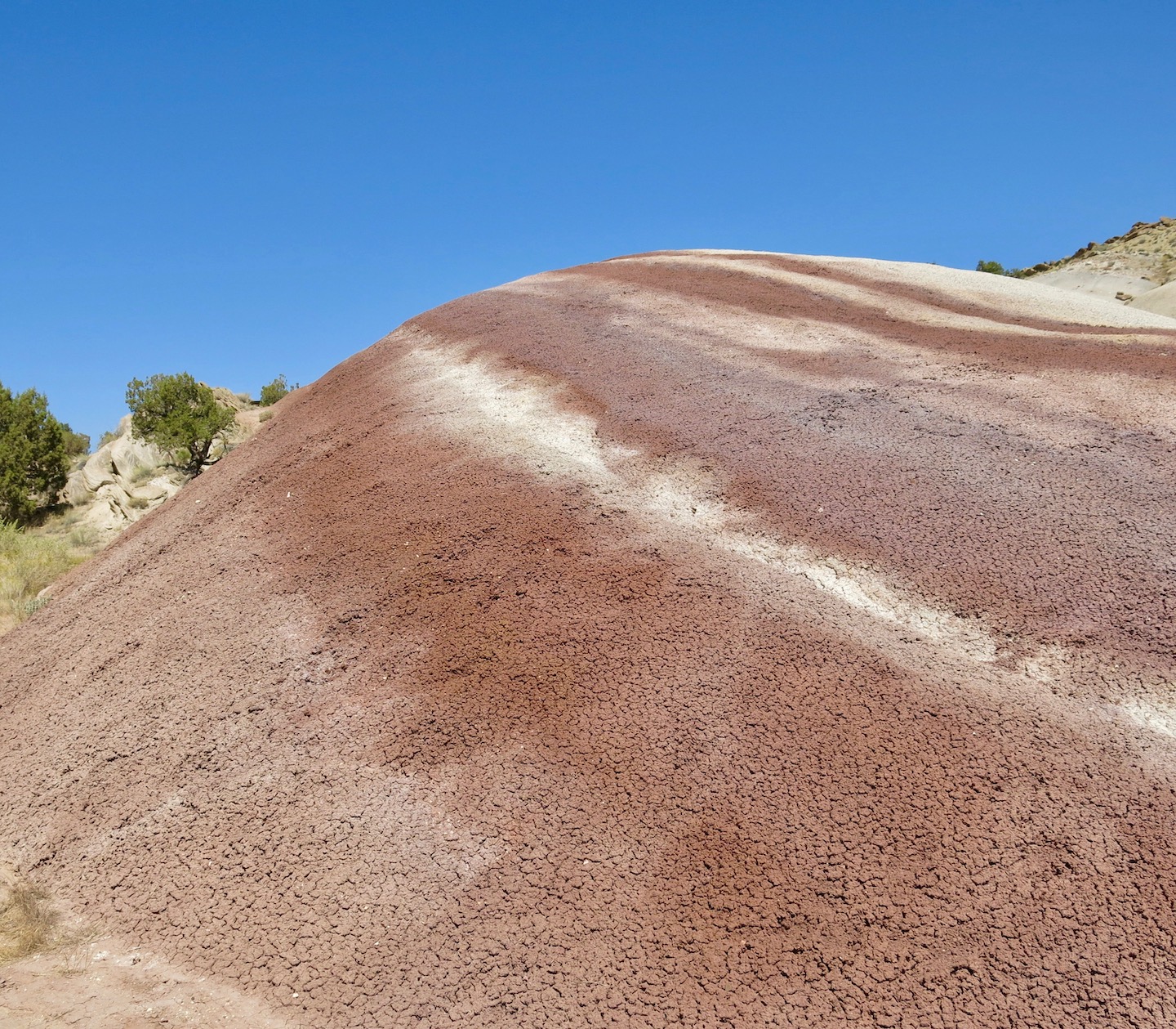
Below: Left – Brushy Basin clay hills. Top right – very tilted selenite poking up a couple of inches through Entrada ‘sand’. Bottom right – hematite dams in Kayenta sandstone.
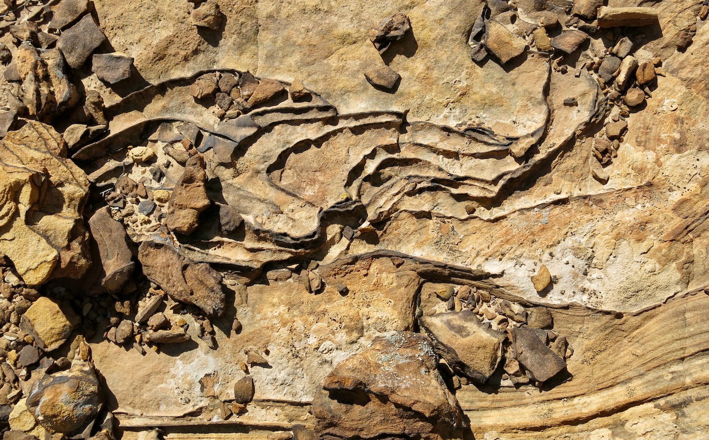
Below: Top left – Kayenta sandstone layers. Bottom left – tafoni in sandstone. Right – Entrada sandstone.

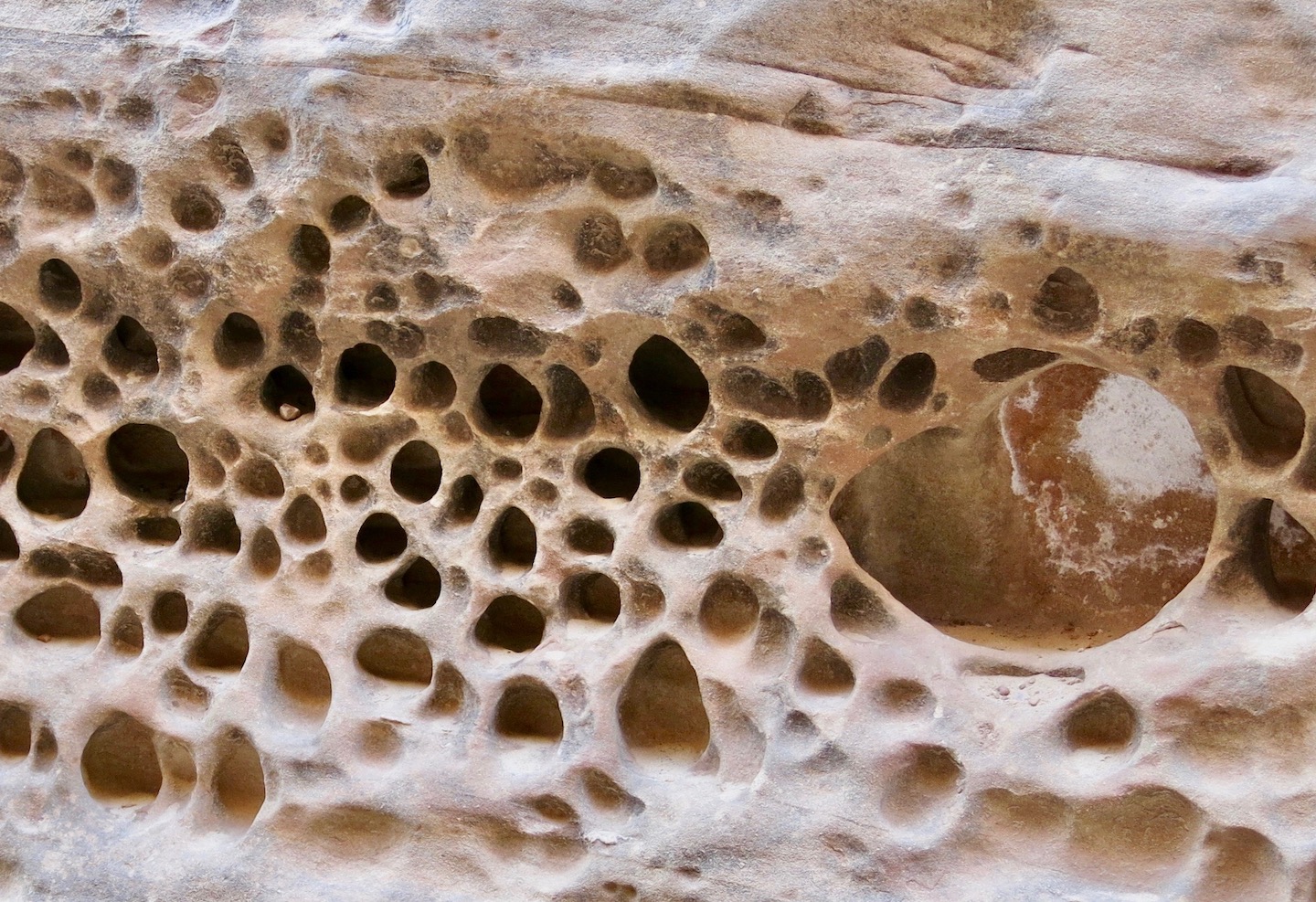
Tafoni – the roundish holes in sandstone – are caused by chemical and physical weathering.
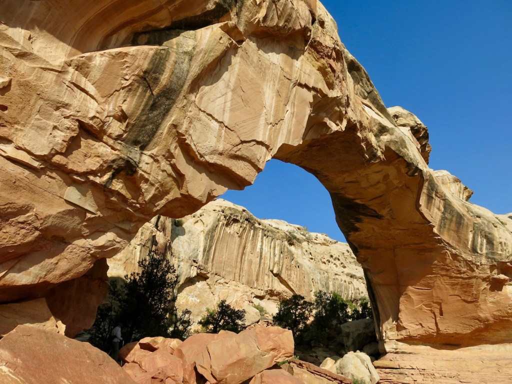
Hickman Bridge is a very popular destination.
Desert varnish adds interest to Wingate sandstone.
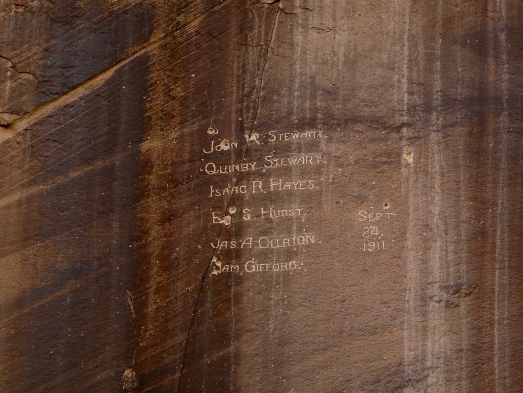
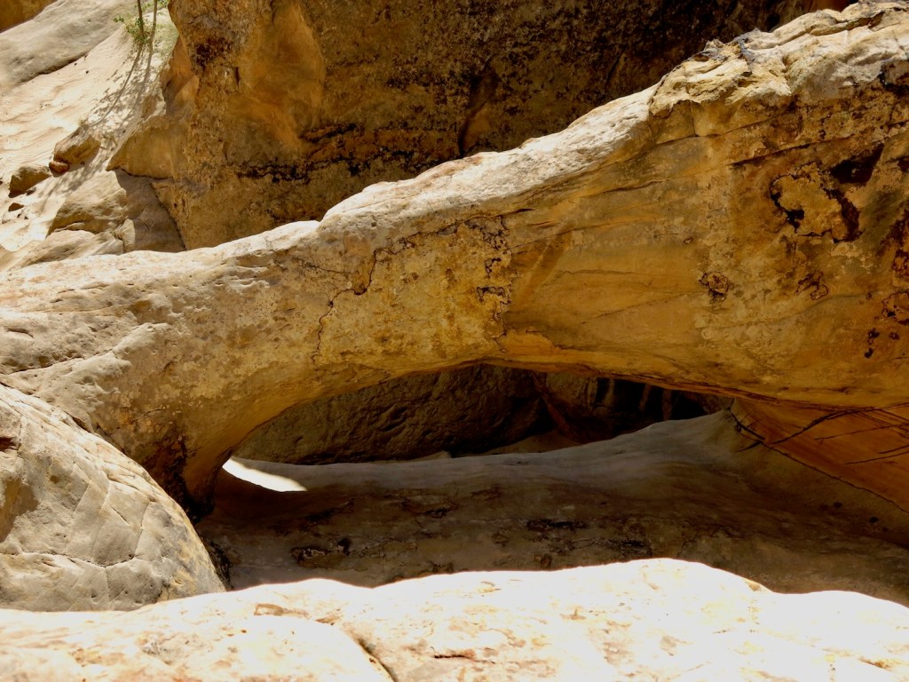
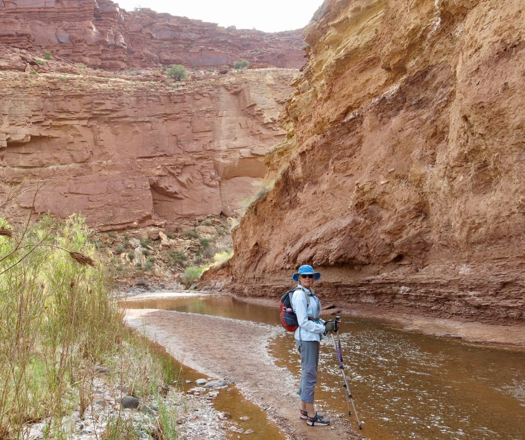
Names of the surveyors of Capitol Gorge are carved about 25 feet above the wash. Until the highway along the Fremont River was completed in 1962, Capitol Gorge was the main route through Capitol Reef. Now it’s a hiking trail with a side trail up to some tanks, or pools. No water this year, but we found this bridge.
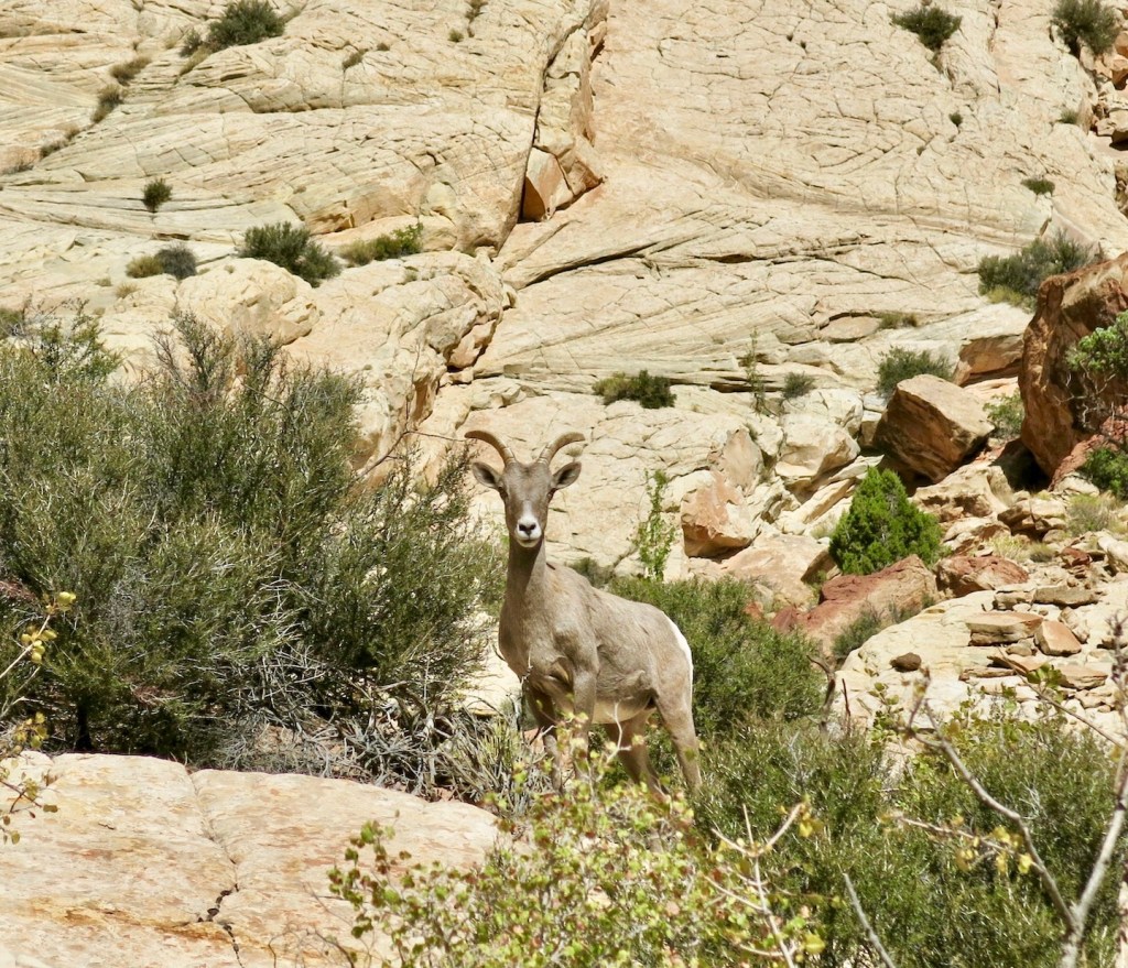
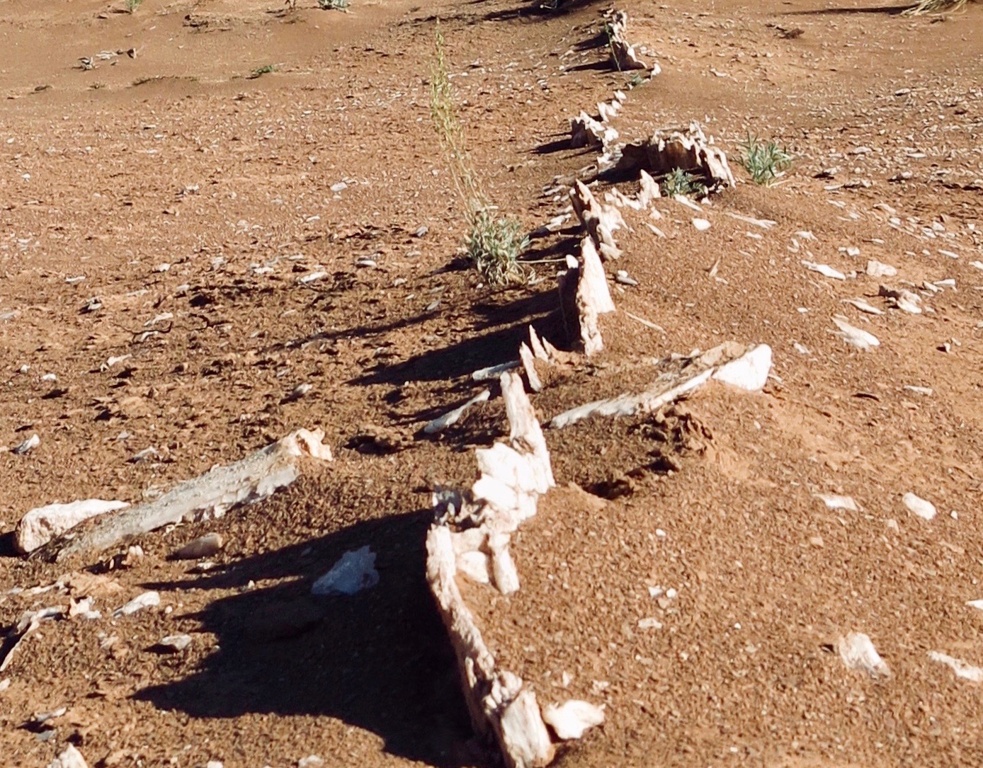
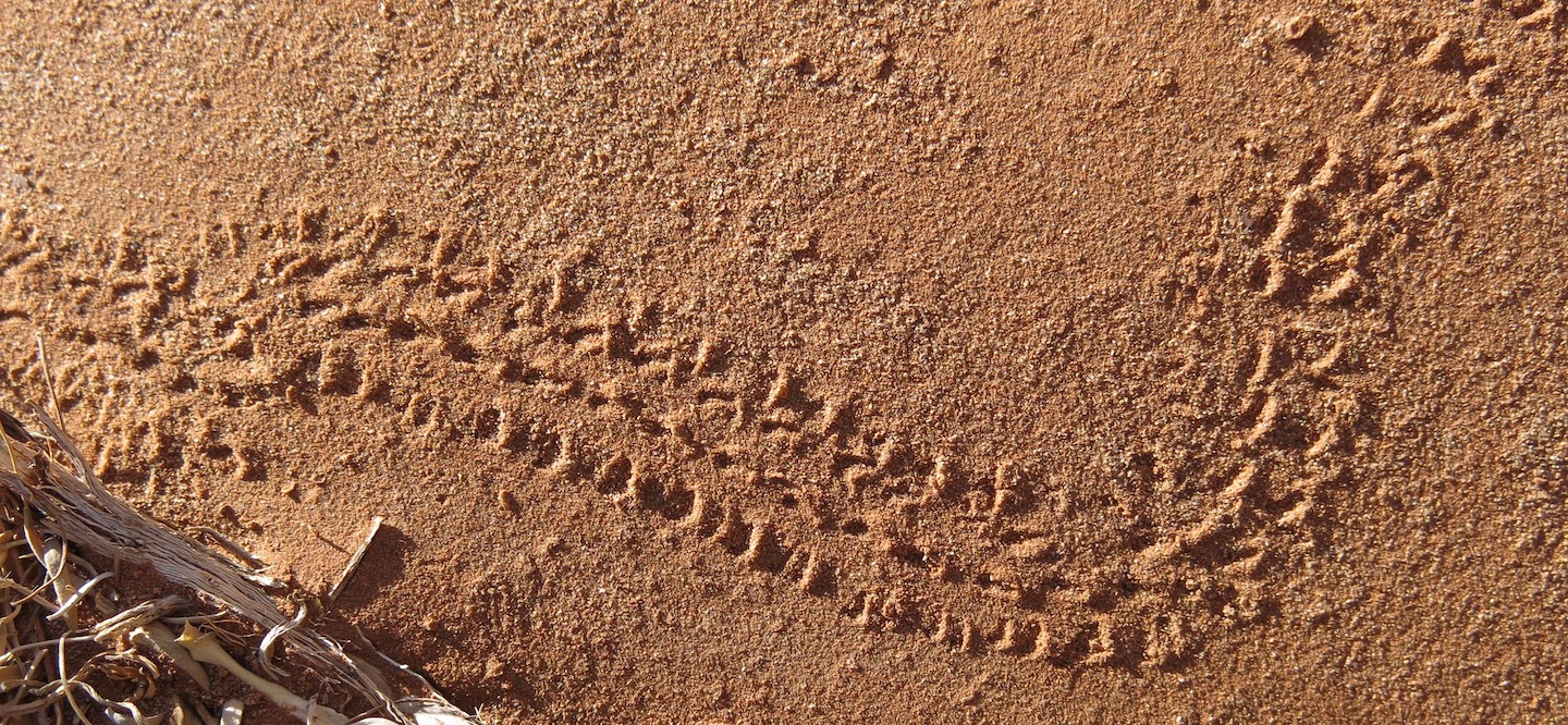
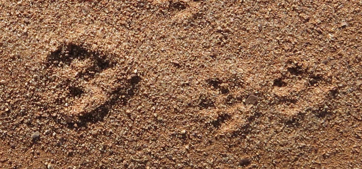
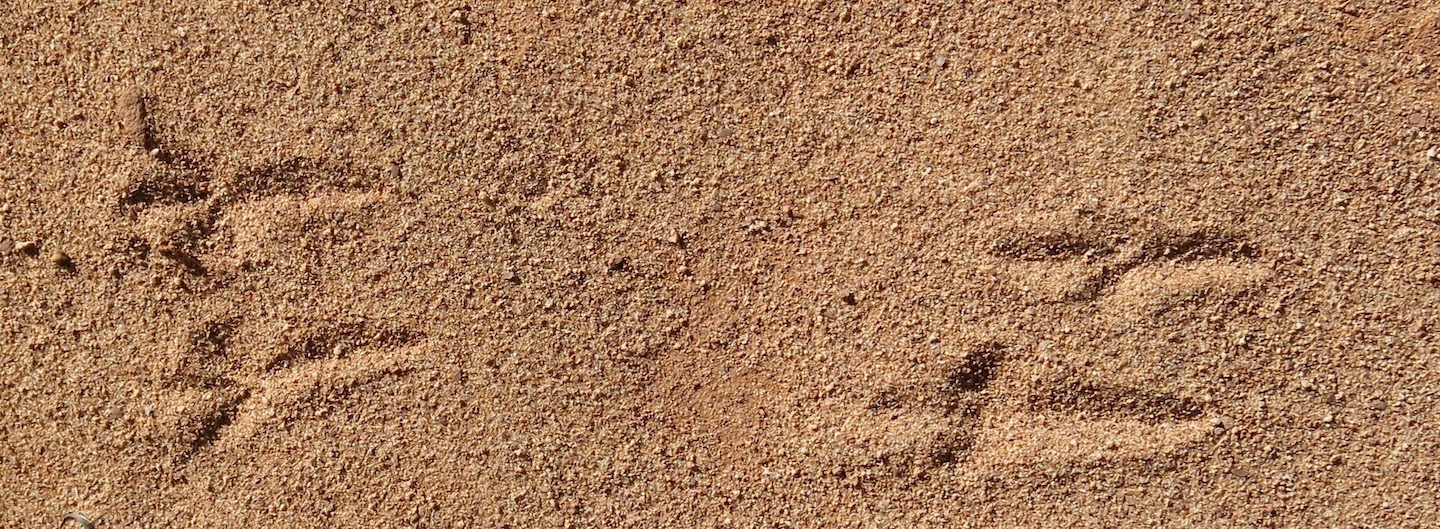
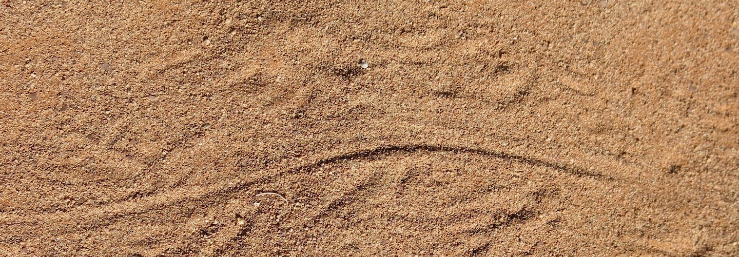
Continuing down the wash we were surprised by big horn sheep. Smaller critters leave their tracks in the sand.
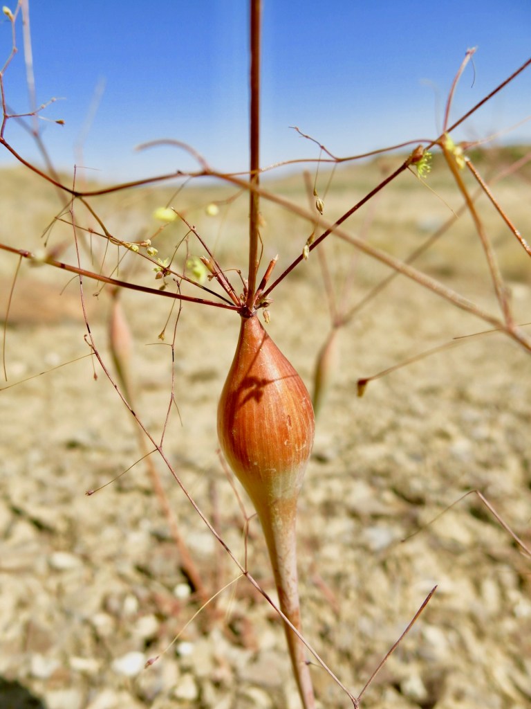
Spring is probably a better time to look for wildflowers, but even in September we were able to find a desert trumpet. It’s a member of the buckwheat family, and that bladder helps hold the plant upright.
We saved one of the more interesting hikes for our last full day at Capitol Reef. Sulphur Creek is a route, not a trail. You’ll see why in the photos below.
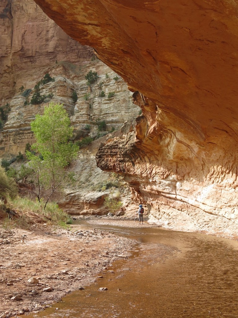
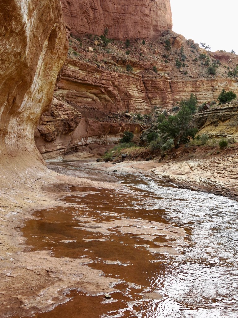
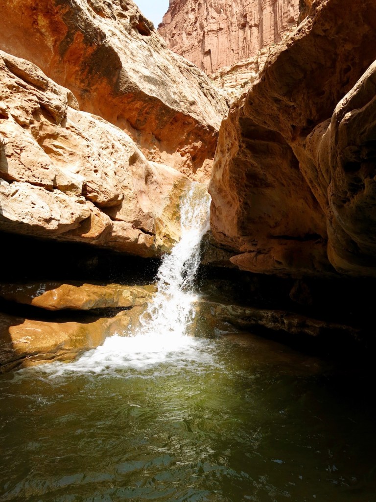
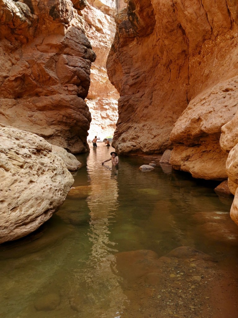
And yes, the photos are in order. We had to work our way around the right side of the waterfall (left side of waterfall photo) and downclimb about 10 feet. Around the next bend we came to the pool and the narrows where we decided to turn around.
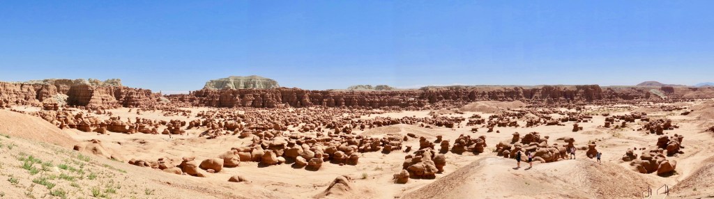
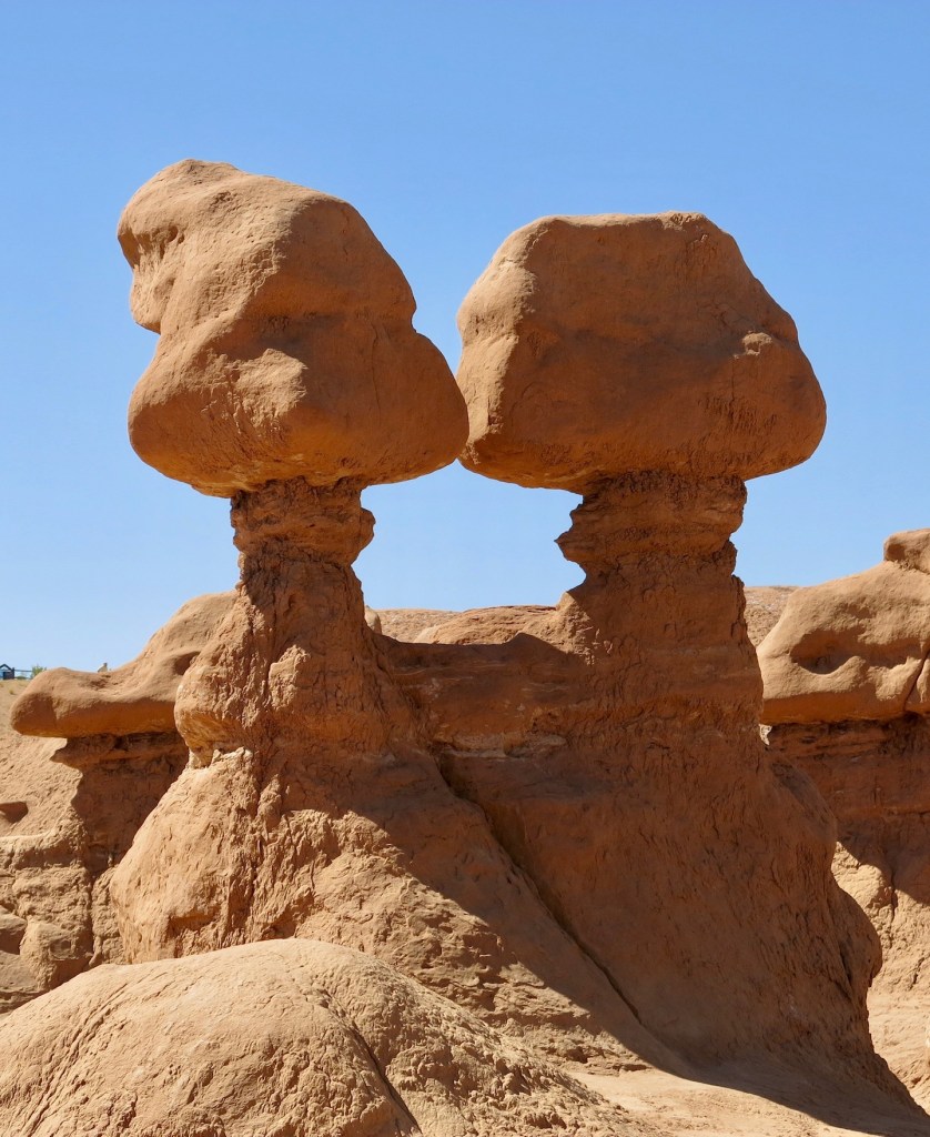
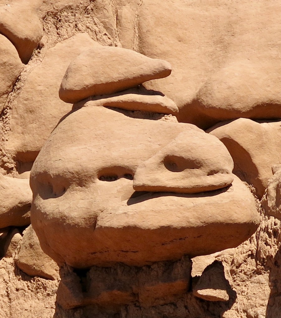
From Capitol Reef it is an easy drive to many other federal and state lands. Goblin Valley State Park was only 10 miles off our route and irresistible. Entrada sandstone has weathered into ‘goblins’ of all shapes and sizes.
One way or another we’ll return to Capitol Reef and continue to explore.
